Residential, commercial, and large acreage boundary surveys are the core of our business. Our extensive historical records allow us to work quickly, efficiently, and give you the best possible service.
We realize that you may only hire a Professional Land Surveyor once in your lifetime. So, we take time to understand your needs and will help you choose the right approach and product.
A boundary survey is typically a three step process:
1. Research and Calculations
-If your parcel was created by a Parcel Map or Subdivision Map, this step is relatively simple.
-If your parcel was created by a deed or government patent, this step may take a little more time.
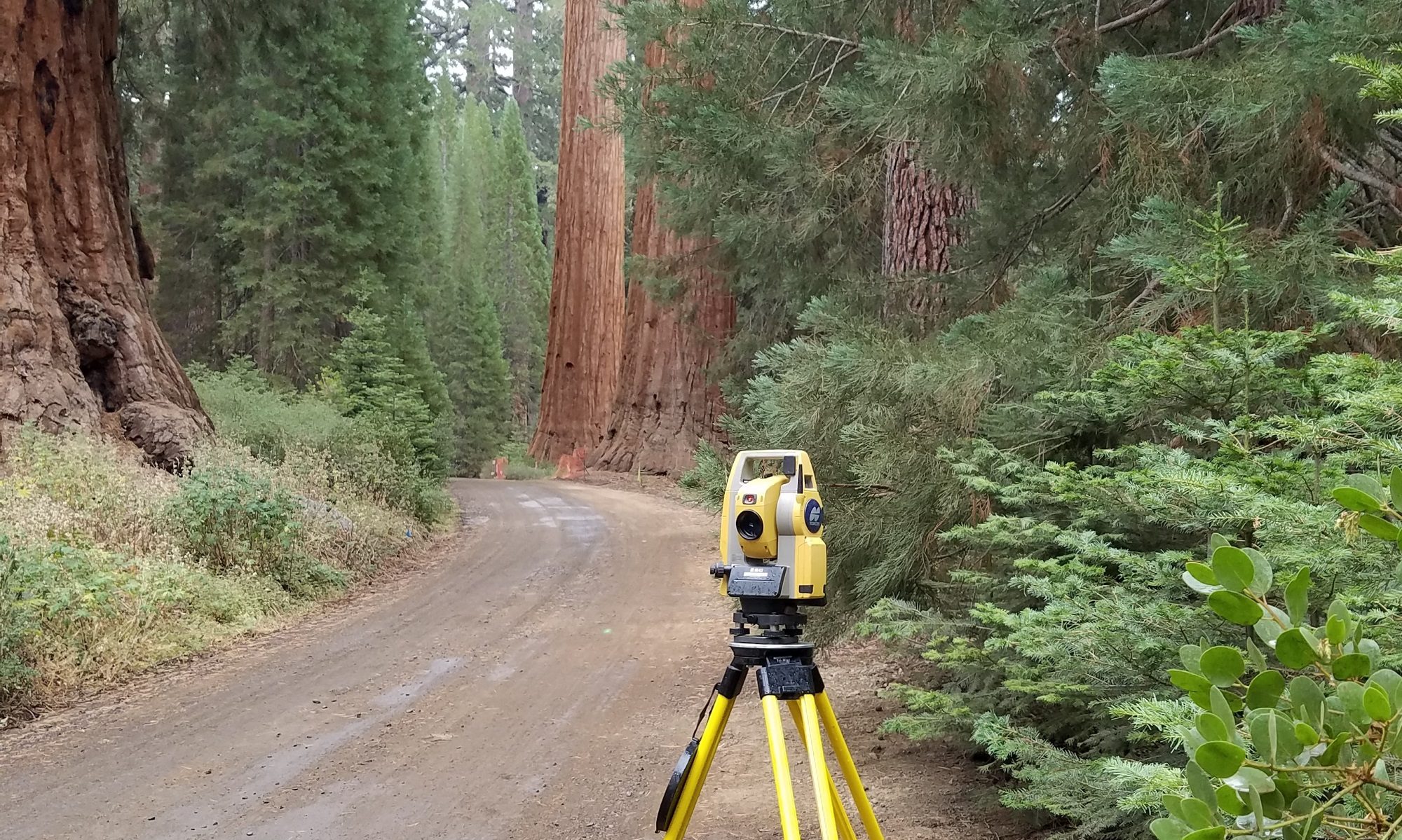
2. Field Survey
(This step may be composed of one or all of these elements)
-Find, Flag, and verify existing property corners
-Re-Setting corners that have been destroyed*
-Setting property corners that are not shown on a recorded map**
-Setting intermediate points on your property line to aid in fencing
3. Mapping
(Depending on how your parcel was created there are a few options here)
-Map of Survey (A simple, non-recorded map)
-Corner Record (A map & document filed with the County Surveyor)*
-Record of Survey (A 18″x26″ map recorded with the County)**
*Corner Record required when Re-setting corners shown on a record map
**Record of Survey required when setting corners that are not shown on a previous record map