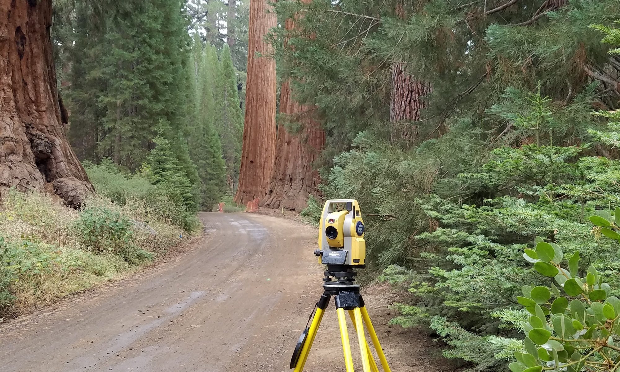

Reliable survey control is the backbone of any good Engineering, Mapping, or GIS project.
We utilize Real Time Kinematic (RTK) GPS together with static observations processed to Continuously Operating Reference Stations (CORS) or local Geodetic Control Monuments.
Coordinates can be delivered on any desired Geodetic Datum and Projection.
You must be logged in to post a comment.