As the saying goes… “A picture is worth a thousand words.” Geographic Information Systems (GIS) have changed the way we think of data. With modern software and visualization tools such as Google Earth we have all grown to expect a beautiful easy to use map.
But a map is only as good as the data you put in it!
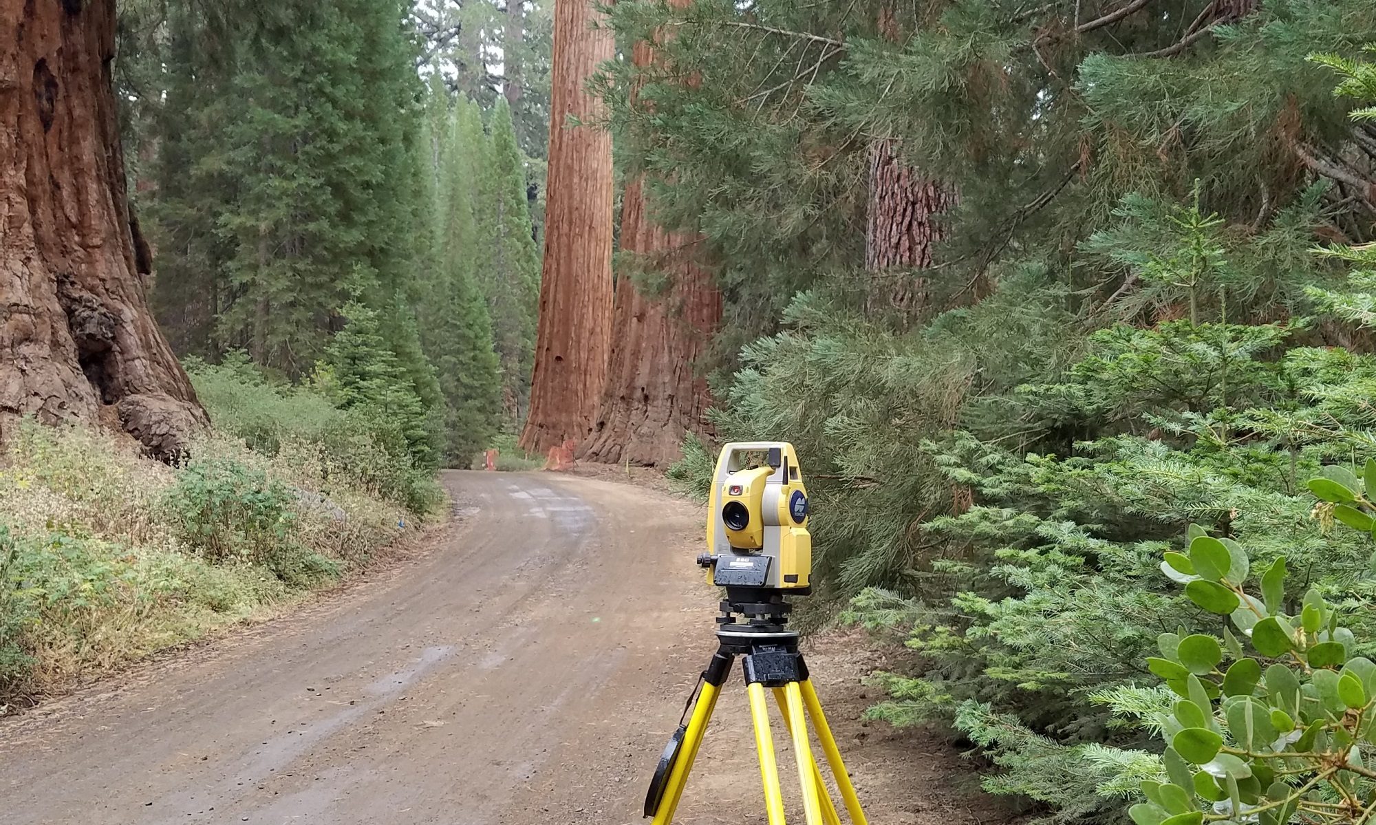
We focus on building a GIS from the ground up — starting with good survey control.
We create feature rich data sets including high resolution orthophotography, topography, property boundary overlays and more.
Large or small scale, there are limitless uses for this great tool:
- Utility As-Built maps
- Company client and job records
- Agricultural area calculations
- Parcel data and land use information

You must be logged in to post a comment.